Our last stop for touring on this trip is Grand Canyon National Park. We have moved down to Fredonia, AZ which is just across the border from Utah. It is one of the closest towns to the north rim. Arizona does not observe daylight savings time and we are have issues with our phones and iPads switching times on us. They will switch to Arizona time and you move a mile and they are back to Utah, I guess it depends on where the closest signal is located. While in Arizona if you drive into the Navajo lands the time switches again as they do observe daylight saving time.
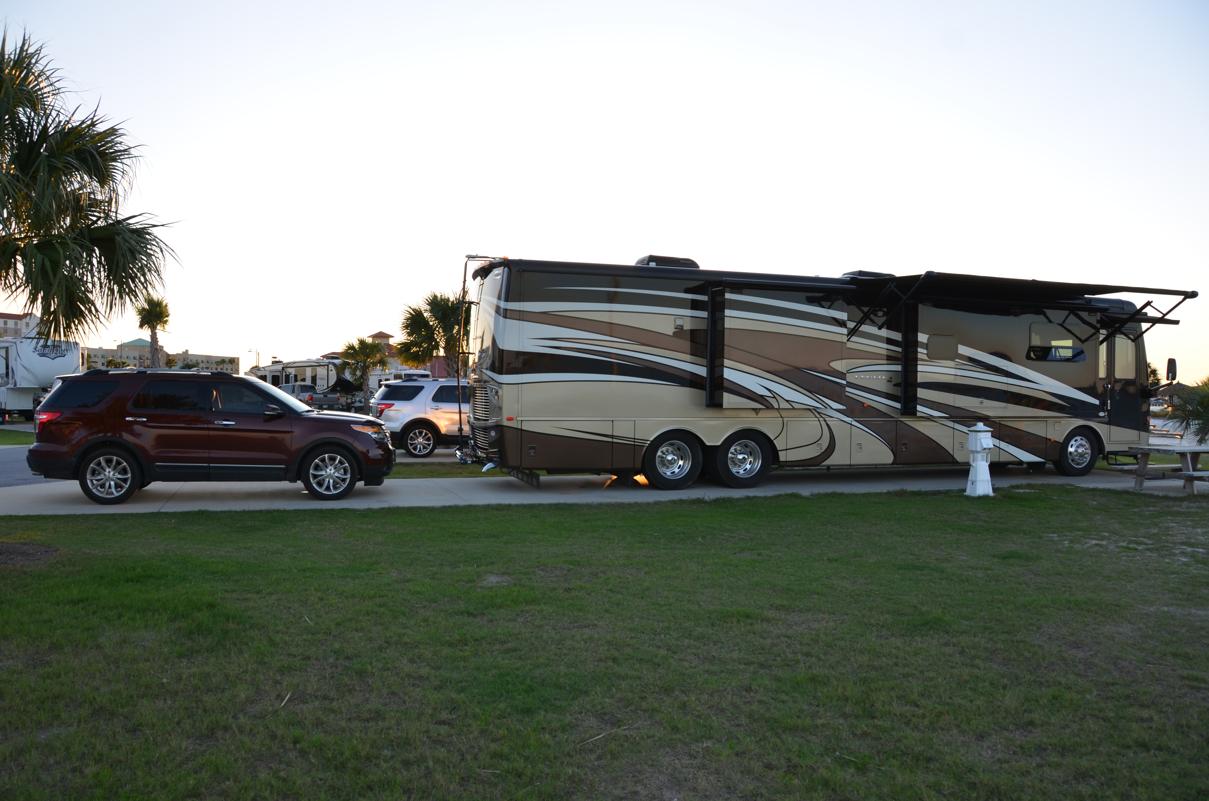
This is a very small RV park and there is not much in the town. You really need to drive back into Utah to a little town 7 miles away to get any type of service.
We had to drive about 1 1/2 hours to get to the Grand Canyon, most of that time was driving through the Kaibab National Forest. A very pretty drive and not much traffic.
We have previously visited the Grand Canyon but on the south rim. That was around 20 years ago.


There are not a lot of roads here, the main one goes up to the visitor center and then there is a scenic drive that you can take to see different views. There is a lodge and cottages and a restaurant in addition to the visitor center. There is also a trail you can take to Bright Angle Point. The information said it was only a half mile round trip so we just started down the trail with out taking water or hiking sticks. While it may be short it is not an easy trail, very steep in some areas and seems to be very popular as lots of people where on the trail.
As we started out we came across some deer standing around.


Initially we were in some shade and the path was not too bad.


The longer we walked, the steeper it became.

We did spot a lizard along the way, he was sunning himself on some of the rocks.

You kept thinking you were getting to the end of the trail and you would turn a corner and discover you had another uphill climb. I would not recommend this trail unless you have on really good hiking shoes, fortunately we had ours on. We did eventually get to the top and enjoyed the view for a little while before heading back. Had to make a few stops on the return trip to rest but we eventually made it back.

After leaving the visitor center area we then drove over to take the scenic drive and went through a lot of areas where the trees had already started turning colors.

The scenic drive spits and you can go up to Point Imperial or Cape Royal. We took the Point Imperial drive first.


After Point Imperial we drove towards Cape Royal and stopped at a few of the view points. We skipped one because of limited parking.


At one location you could see down towards the Colorado River and apparently the ruins of an old village. I could never spot it but Bruce did get a picture where he could see them if you zoomed in on the picture.


Eventually we get to Cape Royal which apparently is one of the more popular locations, had a huge parking lot. From this area you can walk out above what is called the Angels Window. This walk is much easier that the one at Bright Angel Point, not near as steep.

While walking out to the point we came across a beautiful bird, think it is called a Stellar Jay. There were actually a couple of them and one landed on a rock close by.

We kept walking out to the point and as you get closer to the point you can see through the window.

When we zoomed in through the window you could spot the Colorado River. One man mentioned that he had rafters going down the river but we missed them.


Bruce took a picture along the banks of the river and could spot boats parked along the shore.

There was another view we walked to at this location that gave you a slightly different view of the canyon.


On the walk back we spotted some other type of bird posing in the trees.

When we left Cape Royal we headed back down the scenic drive once again going through the hills full of trees that had changed.

We also ran across mule deer at several different points while driving back through the national forest.


From what we can remember the North Rim does not look at all like the South Rim. The North Rim is at a much higher elevation and gets more rain so they have lots more trees. We will have to check out the pictures from our last visit years ago. I just remember I was not super impressed on that visit.
When we left the park we debated on going to visit the Vermillion Cliffs National Monument which was not to far away. We decided to stop and get something to eat as it was after 6:00, thought we could eat quick and get to the cliffs for sunset. The only place around was at a spot called Jacobs Lake, there was an inn, restaurant, little store, a bakery and service station. It was at the intersection of the road we took through the national forest to get to the Grand Canyon and the road that you would take to go towards Vermillion Cliffs.
By the time we finished eating it had gotten dark out so we skipped going to see the Vermillion Cliffs and just went back to the RV. We discussed going there the next day or else going to the Grand Staircase Escalante National Monument but decided to just relax. We did visit the Bureau of Land Management Visitor Center to get information on the Grand Staircase Escalante but will keep it for later.