On our last day in Crossville we went to the Fall Creek Falls State Park. Our GPS once again took us a strange route. We actually put in the address of the park, not just selecting it in the points of interest. The park is not right off of a major highway so we drove some distance on smaller roads then it had us turn on an even smaller road and then suddenly we were on a one lane dirt track through the woods. It was very rough and we were having to dodge holes with water in them. A name finally popped up on the GPS and it said we were on the Fire Tower Road. We stopped and parked on even smaller trail, checked our address, checked the Garmin GPS on the phone and it all said keep going the way we were headed. About that time we saw a park ranger drive pass coming from the direction we were headed. He did not seem concerned to see us there, he never slowed down just kept on going. We decided it must go somewhere and we would try it a little further. After a few more miles we made it to a paved road which we took the rest of the way into the park.

Fire Tower Road

End of Fire Tower Road as got back to pavement
This is Tennessee’s largest and most popular state park. It is on part of the Cumberland Plateau, lots forest sliced trough by a giant gorge and plenty of waterfalls. I imagine in the spring it would be beautiful with all the dogwoods. About two thirds of it is still in its natural state but it is considered a resort park. In addition to the normal hiking trails it has a golf course, inn, restaurant, conference center, lake, olympic size swimming pool, ball fields, tennis courts, cabins and campground. Additionally they have the canopy adventures which is about six different courses of zip lines, bridges, ladders, swinging steps, swinging beams, etc.. They also have two junior courses for small kids. I can just see some of Bruce’s great nephews having a blast on the different courses.
Saw some deer right as we got into the park.

Deer in the park
We decided to keep our adventuring to the hikes down to the waterfalls. As with every hike down, there is also the hike back up which can be be much harder. We stopped by the office and visited with one of the rangers before striking out and he was very helpful. Reviewed the map with us and let us know which of the falls were at their best this time of the year and which still looked good but were not at peak flow. He suggested if we enjoyed this trip that we come back in the spring or fall when there is more water flowing in the main fall. They have a six mile scenic drive you can take that gives you good view of the gorge and it has spots to pull out and take pictures or in some cases stop to see one of the falls. While on the drive I learned that if you die in the park you can get one of the views named after you. I like to read the signs at the different spots and one of the first ones I read said it was named after a botanist that died of a heart attack right after leading his students through the gorge. The next stop was named after a naturalist that fell to his death while climbing. Certainly makes you think twice before trying anything too strenuous.

Falls

Lower part of one of the falls

Falls

Falls with people swimming below

Another falls
We visited all the falls, hiked down to viewing areas, crossed swinging bridges and managed to make it back to the top. The swinging bridges reminded me of the one that crossed the creek by my grandparents home in Pennsylvania. I told Bruce about a picture I have of my brother hanging off the outside of the bridge, he is holding on with one hand and has his feet braced against the wood decking. Not sure how he got out there or why he even decided to try that stunt. I need to find that picture and blow it up and sent it to by brother’s grandson when he gets a little older. He can use it to get out of trouble when he does something equally crazy. Bruce was not interested in recreating the pose for me.

Bruce on one of the swinging bridges

Swinging Bridge

Bruce on Cliff

Cliffs over river
We came prepared for our visit to the falls, backpack with water bottles and snacks, appropriate footwear (sandals are not recommended) and hiking poles which I really needed to help me over some of the areas. Who ever built some of the trails must have been 7 foot tall as my legs did not reach real well to get over some areas. My only regret is I did not wear my Keen water shoes. They have heavy treads for walking on rocks and climbing, but they are designed to let water flow through them. They have really good protection across your toes so if you knocked your foot against a rock and I would have been able to step off in the river and let my feet cool off while still in my shoes. Not recommended for really getting in water where the bottom is really sandy as that sand gets into the shoe and is very annoying.
Did acquire one picture for the photo contest, a man that should really be wearing a shirt. Won’t publish here but kept for my files.
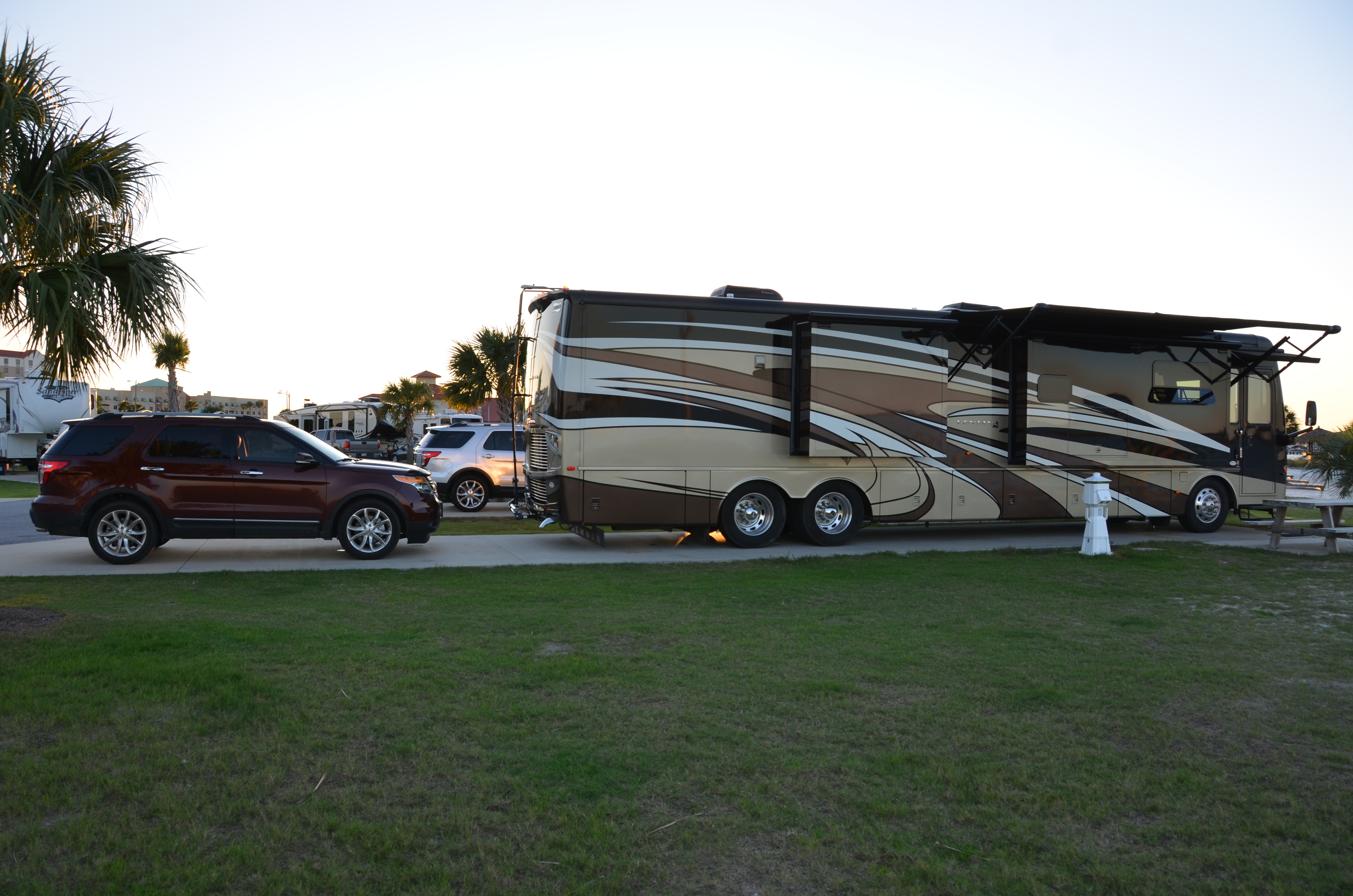
Had a good time and had an early dinner at the restaurant in the park, it was pretty good. We then headed back to Crossville, ignoring our GPS until we got out of the north entrance of the park. We did to want to be routed black out on the fire tower road. Once per day is enough. We did check all our settings in the GPS to see if we had something set strange that would cause it to take us down the fire tower road, but could not see anything.