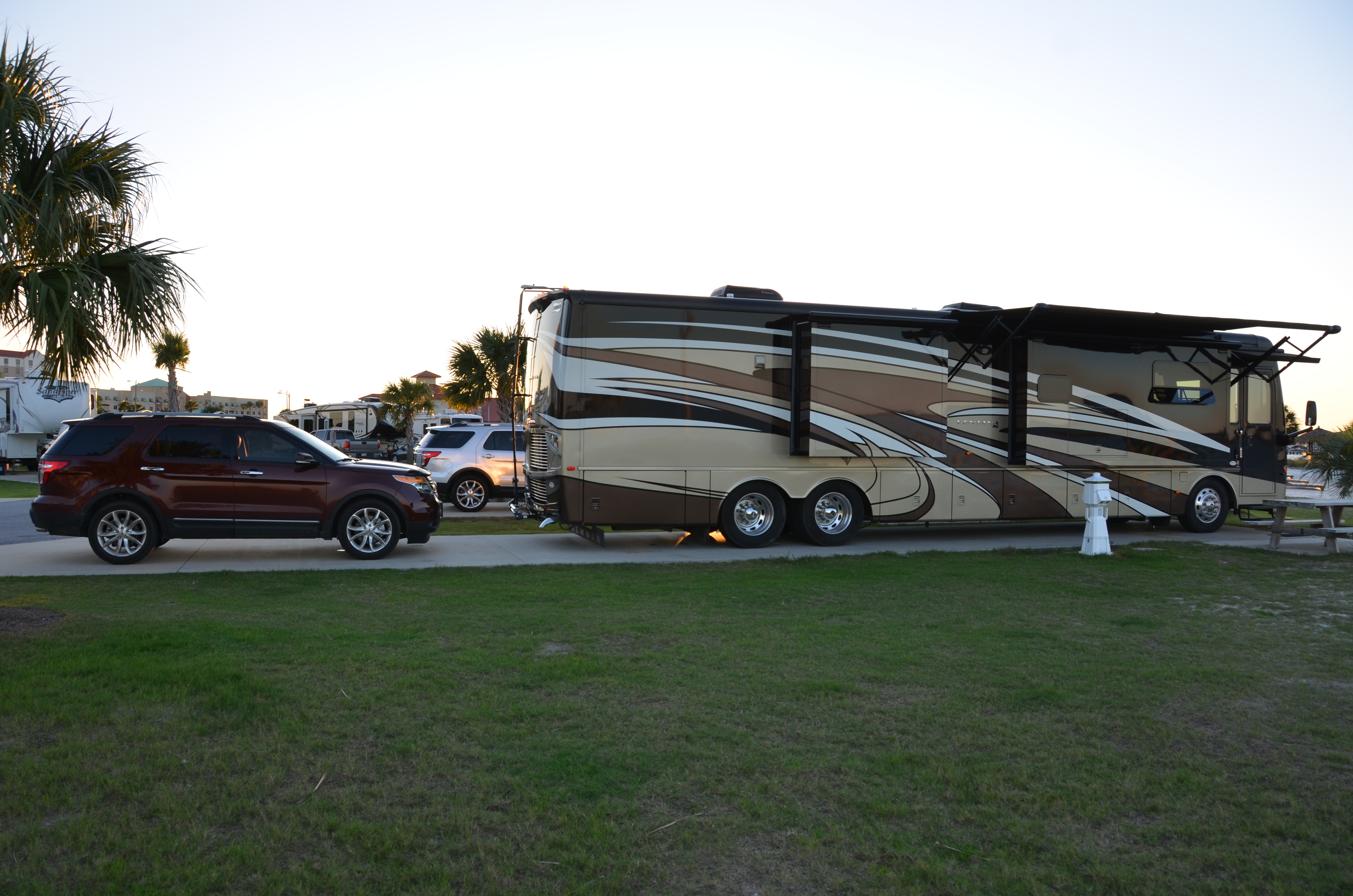
We have now moved back into Michigan after spending hours and hours driving along side corn fields and what looks to be potatoes growing. Wisconsin is also full of diary farms and some cranberry bogs. We don’t normally drive long days but we did drive about 400 miles to get back up here. That was because there was not much we wanted to do in this area. We are now staying at a RV park that is very heavily wooded. We normally get a pull through spot as they are easier for parking but they did not have any pull throughs that had 50 amp service and were long enough for us to park. We got backed in alright but had to adjust a few times as the ground was very soft and not real level from front to back. Finally got set up and then went out to eat since it was about 7:30 by this time. I tried the fresh Lake Superior white fish and it was very good, broiled with light seasoning. They have a big grill in the dinning room and you can grill your own steak or allow the chef to cook it for you. Looks a little like a dive from the outside and you have to walk through the pool hall and bar at the front to get to the restaurant in the back.
We spent our first full day here resting then headed off for Pictured Rocks National Lakeshore.
We took the sunset cruise of Pictured Rocks National Lakeshore hoping it would be sunny but it was cloudy. It was still beautiful views and way better that Sleeping Bear Dune National Lakeshore. At the last minute we decided to switch from shorts to long pants and take jackets with us. It is a good thing we did as it was very cool and of course you have the wind as you are moving over the water pretty fast in some of the areas.
Pictured Rocks is on the south shore of Lake Superior in the Upper Peninsula of Michigan. It gets it name because of the multicolored cliffs. The cliff colors are a reflection of the minerals that are leaching through the sandstone. They have named some of the sandstone formations with names like Chapel Rock, Miners Castle, Indian Head, etc.. The guide told us that people actually get married on top of Chapel Rock then he made a joke about the marriage starting out on the rocks. There are several beaches like Chapel Beach, Mosquito Beach, Twelve Mile Beach and numerous waterfalls. There is a hiking trail that runs along the shore line and lots of areas for camping.
The captain on the boat was very good, he would turn the boat around 360 degrees at some of the spots so people on both sides of the boat had a good opportunity to see the formations. We had originally gone up on the top deck and looked around but decided to move back down one level and still outside but in an area that had a roof. We were sitting on the opposite side of most of the formations on the way out but on the return trip we were on the correct side. The captain told everyone it was alright to stand up when we were not moving fast but to please be considerate and make sure you were not blocking the view of other people. Apparently the old man on the opposite side of the boat from us did not understand that concept. He was sitting next to the railing on the side of the formations but every time he wanted to take a picture he would stand up and block the view for our side of the boat. There was no reason for him to stand as he could easily have taken the picture while sitting. On the return trip I told Bruce I would give him a nudge in the leg every time the man stood up to take a picture on our side and he should immediately stand up and block his view. We would not really have done that but he was very annoying.

Old lighthouse
One of the formations has a tree growing on it with the roots stretched across to the rocks on the shore. At one time there was sandstone under the roots supporting it but it has since worn away with the wave action.

Tree with roots hanging over open area

Close up of tree with roots hanging over water

Indian Head

Close up of colors

Rocks that have separated

Chapel Rock

One of the waterfalls

One of the waterfalls

Rock Formation

View of one of the formations

Backside of one of the formations

Colors on the rocks

Rock formation

Rock formation

Rock formation
On the return trip most of the people went into the inside cabins on the first and second floor. Most of the people on the third floor also came down to our floor. A few brave souls stayed up there even as it started to rain lightly, when the flash lighting started one of the crew members went up and had them come down.
We passed a high school on the way out from the harbor, it is actually located by the water. Bet they have lovely view out the windows, might be a little distracting at times. There is also a paper mill in the town that makes speciality papers. It does not stink like many paper mills and our tour guide said that was because they don’t make pulp wood. The purchase their pulp wood from some place in Canada.
It was a very enjoyable trip, despite the old man.
